About me
G’day, I’m David
I’m a local cyclist and I’ve ridden the Mawson Trail a number of times, including as part of Race to the Rock 2020. That’s an unsupported bikepacking race from the Fleurieu Peninsula to Uluru, and it follows the whole Mawson Trail on the way north.
I put this site together to share what I wish I’d known before my first ride: the official route, where to start, what the surface is really like, and the best guides and stories from other riders.
At a glance
One of Australia’s great off-road rides
The Mawson Trail starts at the top of the Torrens Linear Park on Gorge Road, just east of Adelaide, and runs north through the Mount Lofty Ranges, the Barossa and Clare valleys and the Mid North into the Flinders Ranges, finishing at Blinman.
It is named after geologist and Antarctic explorer Sir Douglas Mawson, who studied the geology of the Flinders Ranges. Cycling groups began planning the trail in 1990 and volunteers marked out the route. It is mostly off-road and well suited to mountain bikes and bikepacking rigs.
Learn more about the trail
- Trails SAThe official source of Mawson Trail information, closures and route changes.
- WikipediaHistory of the trail and information on the towns along it.
- Dave Hume’s Mawson Trail siteComprehensive information from an artist who has ridden the trail many times.
- Length
- ~900 km
- Towns on route
- 22
- Start
- Gorge Rd, Adelaide
- Finish
- Blinman
- Ranges
- Mt Lofty & Flinders
- Surface
- 85% unpaved ↓
Surface: the Toyota scale
Which Toyota would you need to drive it? About 15% of the trail is sealed. The other 85% is unpaved, and it covers everything from smooth gravel to proper four-wheel-drive track.
- Corolla Bitumen15%
Sealed roads and paths through towns and between sections. Any bike, any tyre.
The unpaved 85% is a mix of:
- Camry Light gravel
Smooth, well-graded dirt roads. A family sedan would cruise it.
- RAV4 Slightly technical gravel
Looser surfaces, corrugations and the odd washout. Wider tyres help.
- Hilux Rough gravel
Rocky, rutted farm and fire tracks that need attention and some skill.
- LandCruiser Very technical
Creek crossings, rocky descents and steep, loose pinches. Expect to walk some.
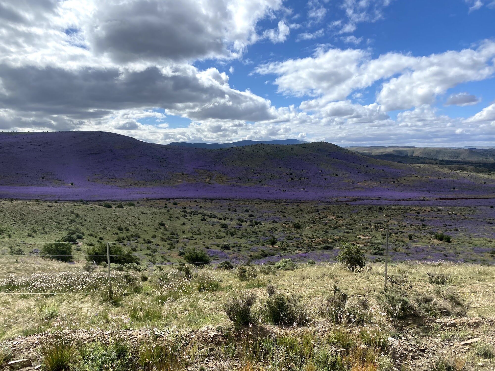
Official Trails SA route
The route, both ways
Most riders go south to north, starting in the Adelaide Hills and finishing at Blinman. A smaller number ride it north to south. That takes different logistics, but you finish among the green hills instead of out in the outback.
Green and white markers waymark the trail the whole way, but you still need a good set of maps.
These routes were built directly from the Trails SA source. Export them in any format to load onto your bike computer, pin them for later, download them for offline use, or navigate with the RideWithGPS app.
Where to start
There’s no sign at the southern trailhead on Gorge Road, just the first trail marker (map). Many riders prefer to begin somewhere with more meaning and ride out to the trail:
- Mawson’s bust, North TerraceMy pick. A bronze bust outside Elder Hall at the University of Adelaide, where Mawson taught.
- Mawson’s grave, BrightonSir Douglas Mawson is buried at St Jude’s Cemetery by the beach in Brighton.
- Victoria Square, AdelaideThe centre of the city, for a full city-to-Blinman ride.
Other ways to navigate
-
Route file
OpenStreetMap route
Another accurate source of the route, usable with the OsmAnd app for iOS and Android.
-
App
The Mawson Trail App AU$21.99
High resolution offline maps, a detailed elevation profile, trail and accommodation info along the way, gear advice, and first aid and emergency info. For iOS and Android.
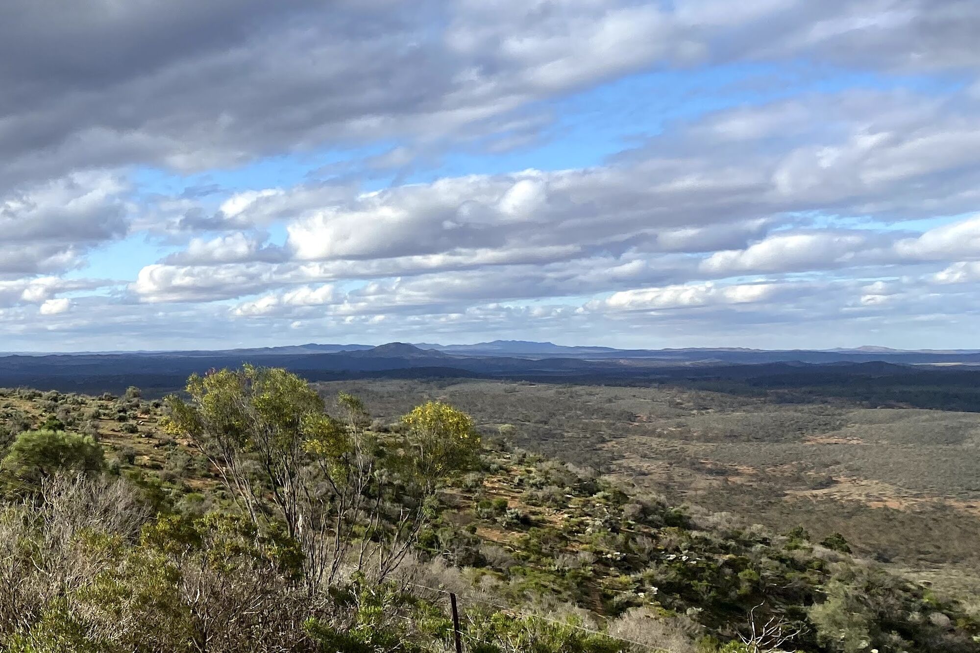
South to north
Towns along the trail
The trail links a string of country towns for food, water and a bed. Towns thin out as you head north, so plan your resupply carefully in the Flinders.
Adelaide Hills
- Adelaide (Gorge Rd)
- Lobethal
- Birdwood
Barossa
- Rowland Flat
- Tanunda
- Nuriootpa
Clare & Mid North
- Kapunda
- Riverton
- Auburn
- Clare
- Burra
- Hallett
- Spalding
Southern Flinders
- Laura
- Melrose
- Wilmington
- Quorn
Flinders Ranges
- Cradock
- Hawker
- Rawnsley Park Station
- Wilpena
- Blinman
Town list from Wikipedia. Check Trails SA for current services and route changes.
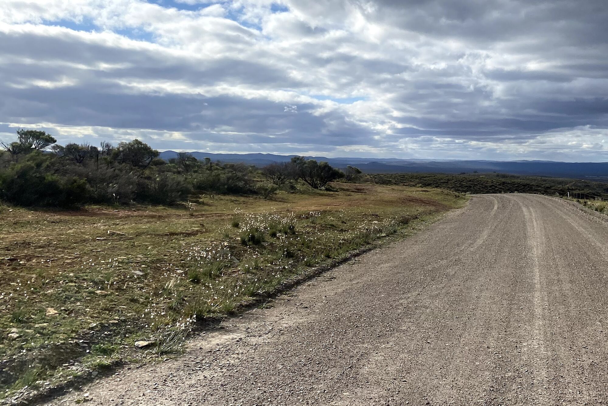
Plan your ride
Get ready to ride
The planning guides, bike setups and stories I recommend, plus an event to ride it with support and a community to ask.
Planning & bike setups
-
Guides & setups
La Velocita
A series of blogs covering different ways to ride the trail and bike setups.
-
Planning & packing
Nat Redmond
A local CX champ’s site with a handy planning spreadsheet.
Stories, events & community
-
Ride story
CyclingAbout: Riding the 900km Mawson Trail
Alee Denham’s day-by-day account of riding the whole trail with a crew of strong, experienced cyclists in tough conditions. Great photos throughout.
-
Supported event
BikeSA Outback Odyssey
A regular supported event to ride the trail, run by BikeSA.
-
Community
Ride the Mawson Trail Facebook group
A great place to ask questions and see other people’s experiences.
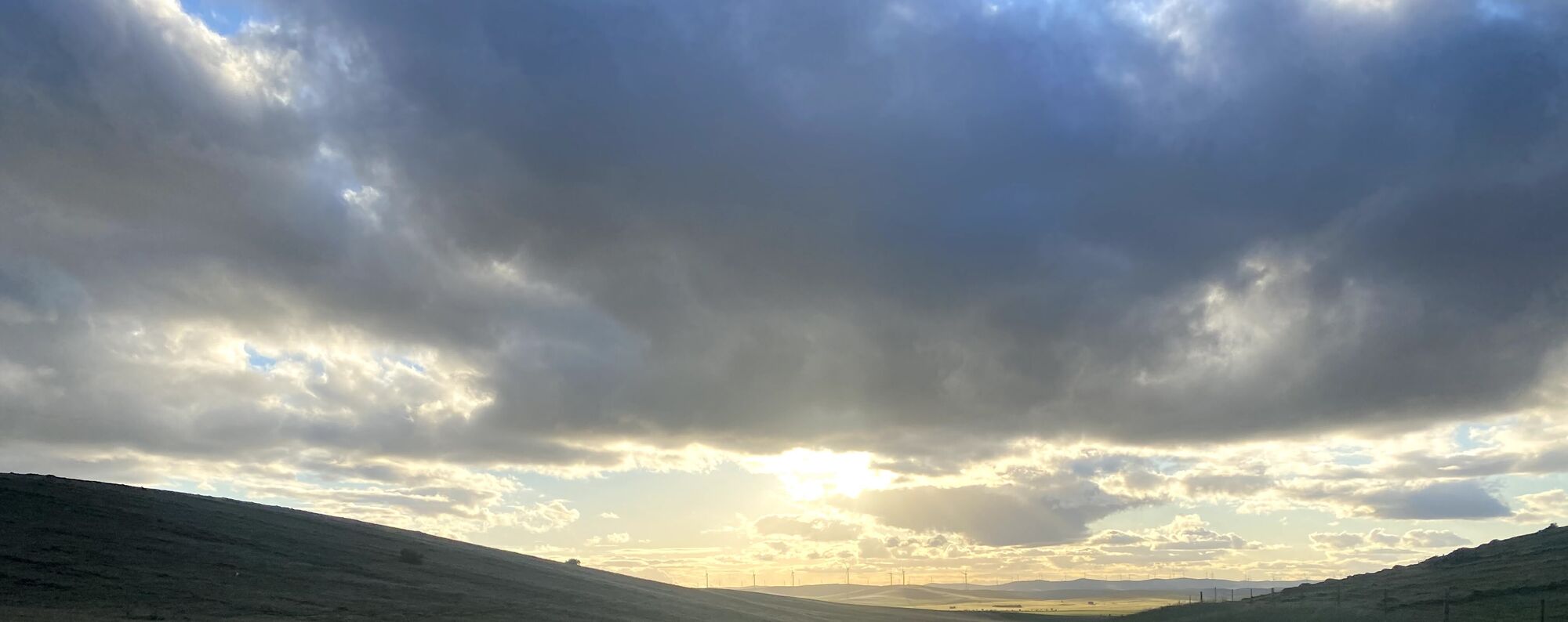
From the saddle
On the trail
Landscapes from riding the Mawson Trail with friends in October 2020, a month after Race to the Rock. Tap a photo to see it full size.


